
How UAV Services Are Transforming UK Rail Infrastructure
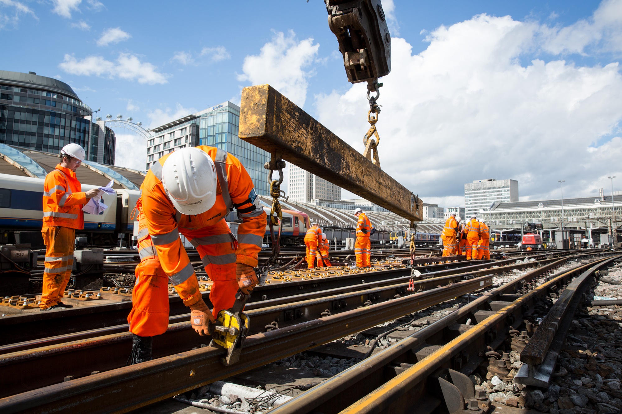
The UK’s rail network is a vital part of the nation’s transportation system, connecting cities, towns, and regions across the country. However, maintaining and upgrading this complex infrastructure comes with challenges—safety, efficiency, and cost being the top concerns. Enter UAV services. Also known as drone surveying or aerial inspection, Unmanned Aerial Vehicles (UAVs) are rapidly transforming how UAV services for rail infrastructure is monitored, maintained, and developed.
With high-definition cameras, LiDAR sensors, and real-time data capabilities, UAVs are becoming indispensable tools in modern rail projects. In this article, we explore how UAV technology is being deployed across the UK rail sector and the key benefits it offers.
What Are UAV Services in Rail?
UAV services involve the use of drones equipped with imaging and data collection tools to inspect and map railway infrastructure. These services are used for:
- Track inspections
- Bridge and tunnel assessments
- Vegetation management
- Topographical surveys
- Progress monitoring and reporting
- Emergency response inspections
UAVs are operated by certified pilots and deliver high-resolution data that can be analysed to support engineering, planning, and safety decisions. These aerial tools have proven especially valuable in hard-to-reach or hazardous areas where traditional inspection methods are risky or time-consuming.
Why UAV Services Are Gaining Ground in UK Rail Projects
1. Improved Safety
Railway maintenance often requires workers to access dangerous environments such as high bridges, active lines, or confined tunnels. UAVs eliminate much of this risk by capturing data remotely, keeping personnel off the tracks and out of harm’s way. This is especially important in compliance with Network Rail’s safety protocols.
2. Cost Efficiency
Using UAVs for rail surveys can drastically reduce labour costs and downtime. Traditional survey teams might require full line closures and heavy equipment. With UAV services, data can be captured in a fraction of the time, often without the need for expensive track possession or large crews.
3. Speed and Accuracy
Time is critical in rail maintenance. UAVs can cover large areas quickly, capturing accurate, geo-referenced imagery and 3D models in real-time. This enables faster decision-making and helps projects stay on schedule.
Applications of UAV Technology in Rail Infrastructure UK
Aerial Rail Inspections
Drones can identify cracks, deformations, and structural wear in bridges, overhead lines, and tunnels using HD and thermal imaging cameras. These inspections are more thorough and less disruptive than manual checks.
Topographic and LiDAR Mapping
UAVs equipped with LiDAR sensors can scan railway corridors, embankments, and cuttings with millimetre precision. This data is invaluable for design, construction, and earthworks planning.
Vegetation Management
Overgrown vegetation poses a major risk to UK rail operations. UAVs can map and analyse areas where trees and shrubs threaten visibility or physical safety, enabling targeted clearance rather than broad maintenance.
Construction Monitoring
From station upgrades to track realignments, UAVs offer real-time progress tracking, providing project managers and stakeholders with regular visual updates.
Disaster Response
After landslides, flooding, or derailments, drone surveys provide rapid assessments to guide emergency repairs or rerouting efforts, reducing overall downtime.
Leading UAV Providers in the UK Rail Sector
Many UK-based UAV companies specialise in rail infrastructure services. These include:
- Plowman Craven – Offers drone-based topographical and structural surveys for Network Rail and Transport for London.
- Cyberhawk – Renowned for visual inspections of live rail environments using advanced UAV technology.
- Survey Solutions – Provides 3D drone mapping and railway corridor surveys.
- GeoAccess – Specialists in rope access and drone inspections for bridges and tunnels.
These companies are certified under the CAA (Civil Aviation Authority) and follow all safety and data protection regulations.
Regulatory and Technical Considerations
Before deploying UAV services on rail projects, operators must comply with UK CAA guidelines, especially regarding:
- Permissions for Commercial Operations (PfCO)
- Flight altitude limits
- Restricted areas (e.g., near stations or airports)
- Data security and GDPR compliance
Moreover, drone operators must collaborate with Network Rail and obtain specific permits for operating in live rail environments.
Future Outlook: UAVs in the Digital Railway Era
The UK government’s push for a “Digital Railway” includes adopting smart technologies for rail asset management. UAVs are expected to play a central role, integrating with:
- Building Information Modelling (BIM)
- AI-based fault detection
- Predictive maintenance systems
As drone technology continues to evolve, future UAVs may include automated flight paths, enhanced obstacle detection, and real-time data sharing with project teams.
Final Thoughts
UAV Rail and Infrastructure are not just a modern convenience—they’re a game-changer for how the UK manages and develops its railway infrastructure. Offering unmatched safety, speed, and precision, drones are helping rail professionals reimagine what’s possible in inspection, maintenance, and project delivery.
If you’re planning a rail project or managing infrastructure assets, integrating UAV rail inspections can give you a competitive edge and reduce both risk and cost. In a sector where precision and reliability are non-negotiable, UAV technology is leading the way.